Wetland-Hydro-GEE
Mapping wetland hydrological dynamics using Google Earth Engine (GEE)
Author: Qiusheng Wu (https://wetlands.io)
This repository contains Google Earth Engine source code for the following research article published in the journal Remote Sensing of Environment.
- Wu, Q., Lane, C.R., Li, X., Zhao, K., Zhou, Y., Clinton, N., DeVries, B., Golden, H.E., & Lang, M.W. (2019). Integrating LiDAR data and multi-temporal aerial imagery to map wetland inundation dynamics on Google Earth Engine. Remote Sensing of Environment. 228: 1-13. https://doi.org/10.1016/j.rse.2019.04.015
Source Code
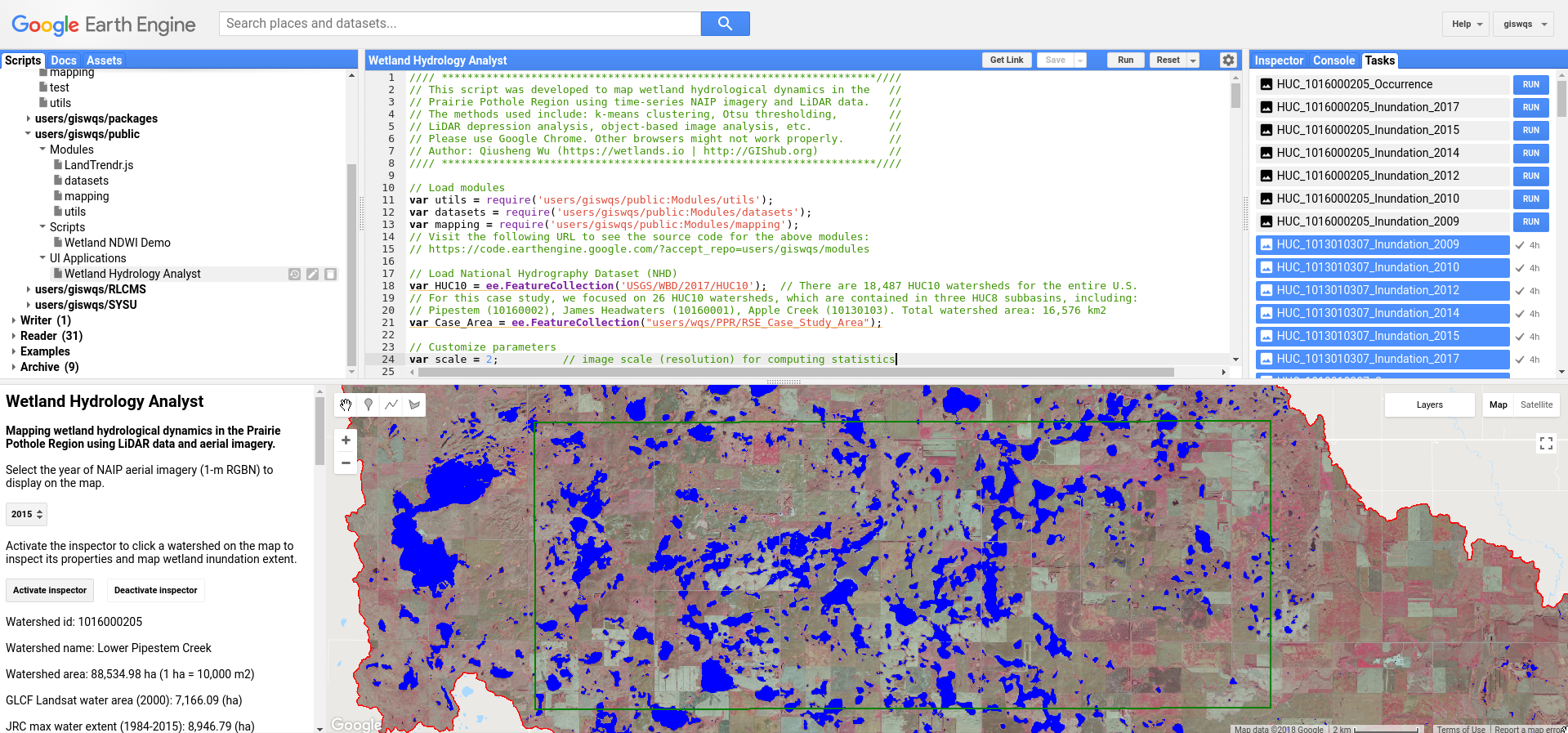
We have developed a GUI application (Wetland Hydrology Analyst) for mapping wetland inundation dynamics using multi-temporal aerial imagery and LiDAR data. To access the application, visit this URL: https://wqs.users.earthengine.app/view/wetland-hydro-gee
To view the Google Earth Engine source code for this application, visit this URL: https://gishub.org/2018-RSE-GEE-Code
Google Earth Engine Interface
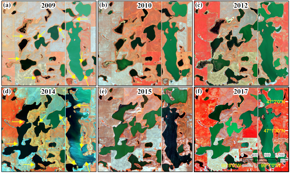
Multi-temporal NAIP aerial imagery (1-m) in the Prairie Pothole Region
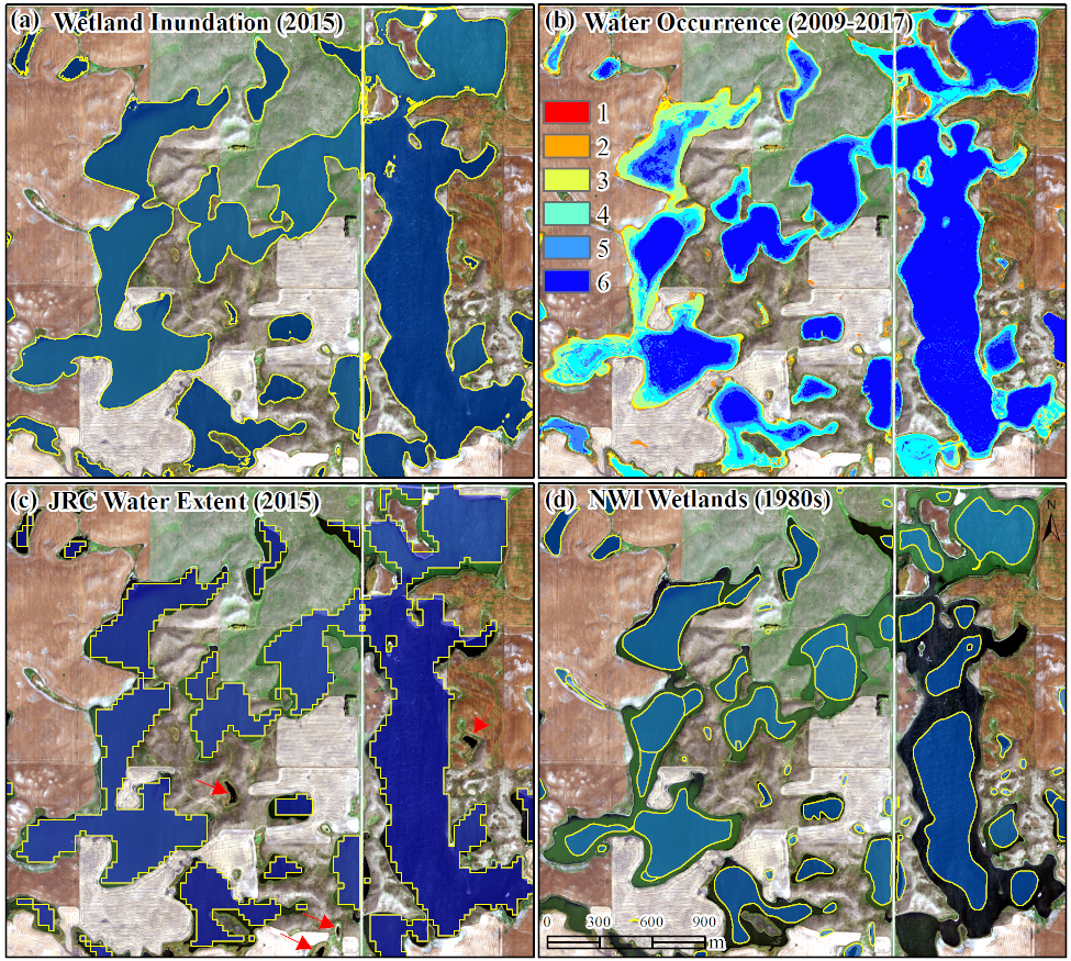
Comparison of wetland inundation maps